Watch the Webinar
Infrastructure intelligence
Explore the webinar below

0:00
Infrastructure leaders are under growing pressure to deliver greater resilience, visibility, and certainty - all while navigating increasingly complex environments. Across local government, utilities, telecommunications, forestry, and major energy projects, the challenge is the same:
How do you plan, manage, and protect assets when risk is rising and budgets are tightening?
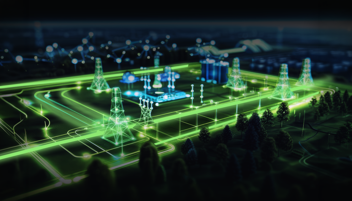
This on-demand nxzen Virtual Communities webinar explores how high-resolution LIDAR, Spatial Digital Twins, and AI-driven insights are reshaping infrastructure planning, asset management, and disaster resilience across Australia.
Discover how leading organisations are applying intelligent geospatial insight to enable:
- Faster planning & development approvals
- Smarter asset & vegetation management
- Advanced flood, bushfire & climate modelling
- Improved compliance & corridor visibility
- Stronger infrastructure resilience