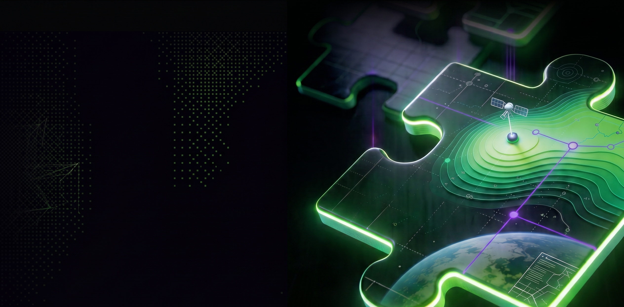
When spatial data fails to support real decisions
Whilst most infrastructure organisations hold extensive spatial data, fewer can use it confidently in day-to-day decision-making.
Data is often fragmented across systems, managed in isolation, or disconnected from the workflows where decisions are made. As network complexity increases alongside growing regulatory, safety, and performance pressure the ability to act quickly with confidence is limited.
A practical, infrastructure‑led approach to geospatial
What effective geospatial delivers in practice
When geospatial capability is implemented with purpose and clarity, organisations can:
From spatial data to decision-ready insight
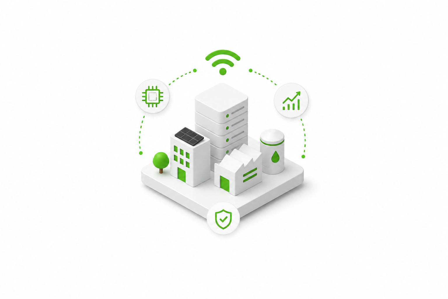
nxzen provides end-to-end geospatial services across utilities and infrastructure. Where clients want to go further, geospatial also forms the foundation of digital twin, smart network, and AI-enabled programmes.
Geospatial strategy & architecture
Defining how geospatial supports operations, regulation, and capital delivery, translating insight into systems that deliver real business value
Network data modelling & modernisation
Designing scalable, future-proof geospatial datamodels for utility networks
Migration & transformation delivery
Managing complex migrations safely, iteratively and at scale
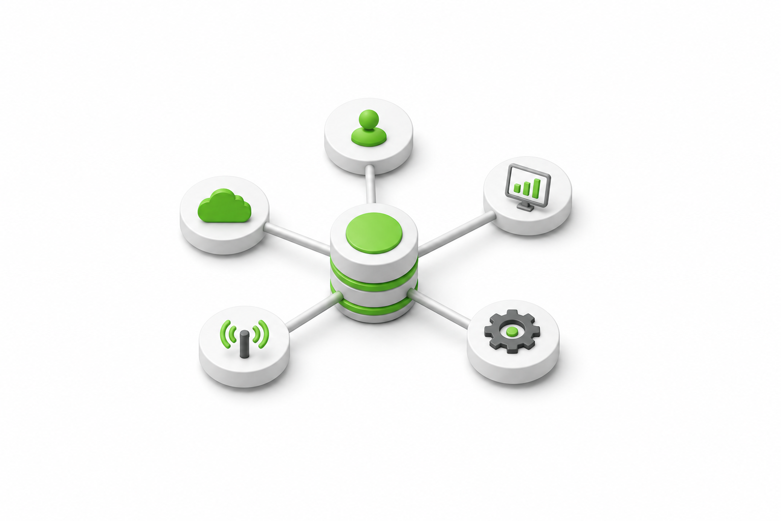
Integration with operations
Connecting geospatial with EAM, IoT, SCADA, and analytics platforms
Spatial analytics & regulatory reporting
Turning spatial data into live insight andregulator-ready evidence
Managed services & delivery capacity
Sustaining data quality and absorbing AMP-driven demand
Geospatial built for delivery
Solutions are designed to integrate with wider digital and data environments, supporting intelligent infrastructure programmes in live, operational settings.
01
Outcome Led
We design around the decisions utilities need to make, including incidents, investment, regulation, and daily operations.
02
Data-first
We assess and remediate data quality before migration or transformation, protecting continuity and reducing delivery risk.
03
Integrate, not isolate
We connect geospatial with asset management, OT & SCADA, IoT, and analytics to create a live, unified operational picture.
04
Scale sustainably
Onshore leadership, specialist offshore delivery, and automation keep data current without long-term cost or dependency.
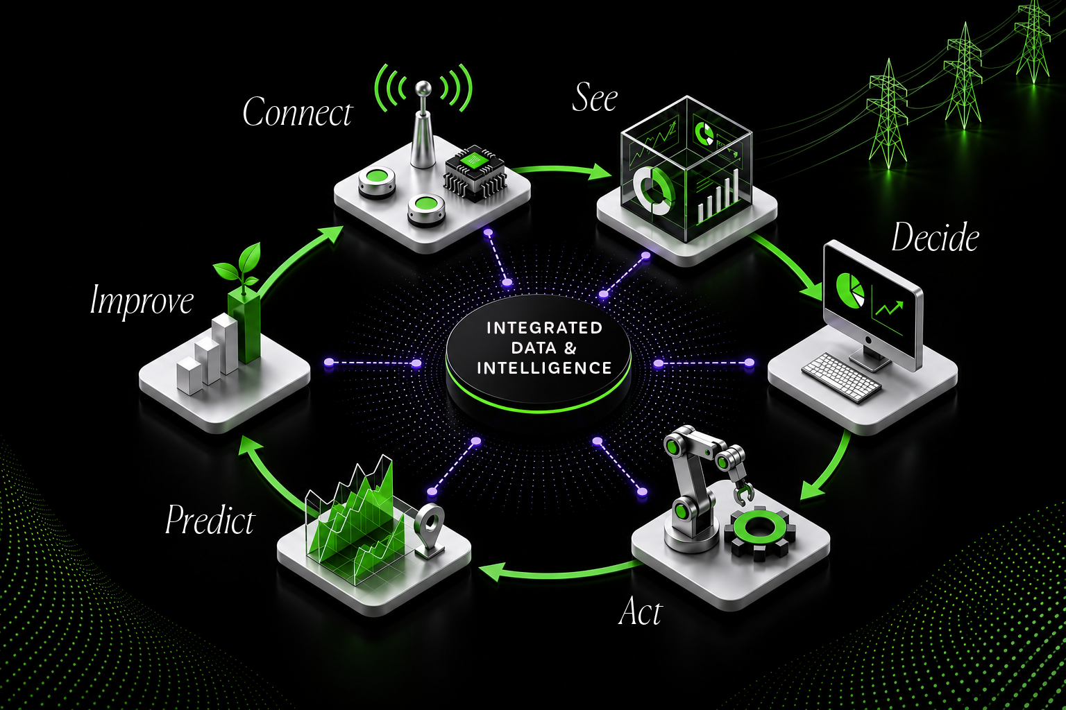
Connect
Integrating assets, systems and data across your network.
See
Integrating assets, systems and data across your network.
Decide
Integrating assets, systems and data across your network.
Act
Integrating assets, systems and data across your network.
Predict
Integrating assets, systems and data across your network.
Improve
Integrating assets, systems and data across your network.

System-wide visibility
Better decisions, faster
Connected operations
Intelligent infrastructure
Built on trusted platforms, applied operationally