A smarter, more connected view of your community
Understand your region. Identify risk. Make more informed decisions.


One regional data foundation. Multiple council applications.
Every council manages a complex environment of roads, drainage, public spaces, vegetation and community infrastructure. Understanding how these elements interact - and how they change over time - can be challenging when information is spread across different datasets and systems.
nxzen’s Virtual Communities initiative brings together high-resolution LiDAR, aerial imagery, spatial intelligence and AI-enabled analysis to help councils develop a richer understanding of their local environment.
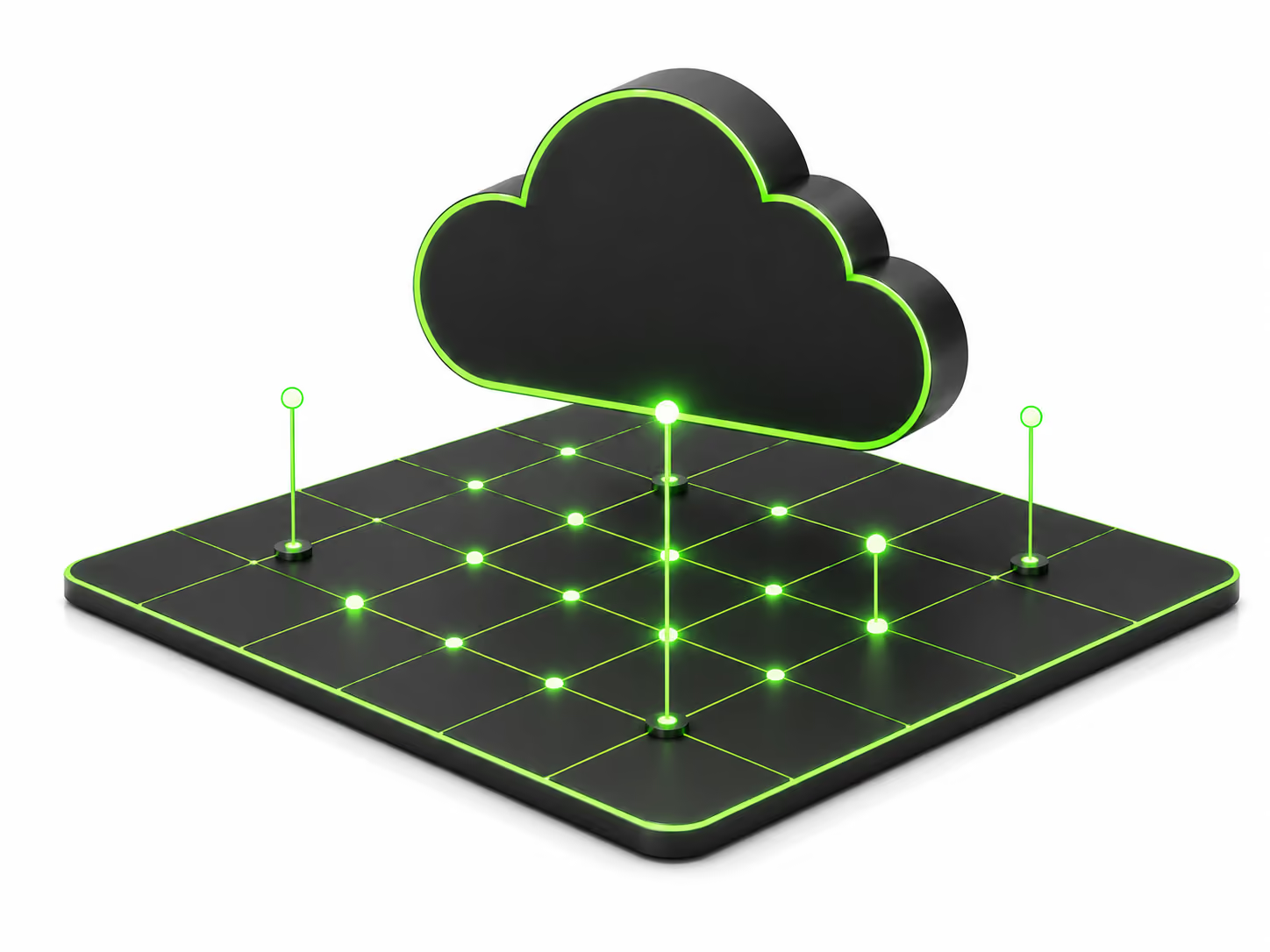
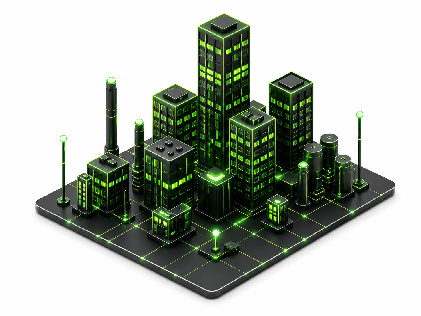
Powered by Cognitive Earth, our infrastructure intelligence platform, Virtual Communities creates a digital representation of the physical world, helping councils explore local challenges, investigate potential risks and identify opportunities to improve planning, asset management and community resilience.
See your community differently
What if the same spatial data could help answer questions across multiple council teams?
One data foundation. Multiple possibilities.
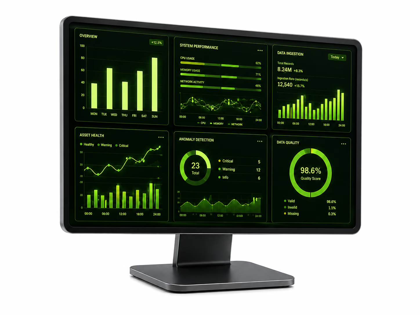
Council teams often need to answer different questions about the same physical environment. Virtual Communities is designed to help unlock more value from spatial data by making it useful across multiple applications.
The result is a foundation that can support multiple teams and use cases, rather than treating every challenge as an entirely separate data exercise.
A regional approach to smarter communities
Many of the challenges facing councils extend beyond individual boundaries. Flooding, vegetation, transport networks and environmental change do not stop at a local government border.
Virtual Communities creates an opportunity to explore how shared regional spatial intelligence could support better-informed decisions across councils and other infrastructure stakeholders.
By building on available regional data and identifying opportunities for reuse, councils can explore how a common spatial foundation could support different priorities across their organisations.
Built on Cognitive Earth
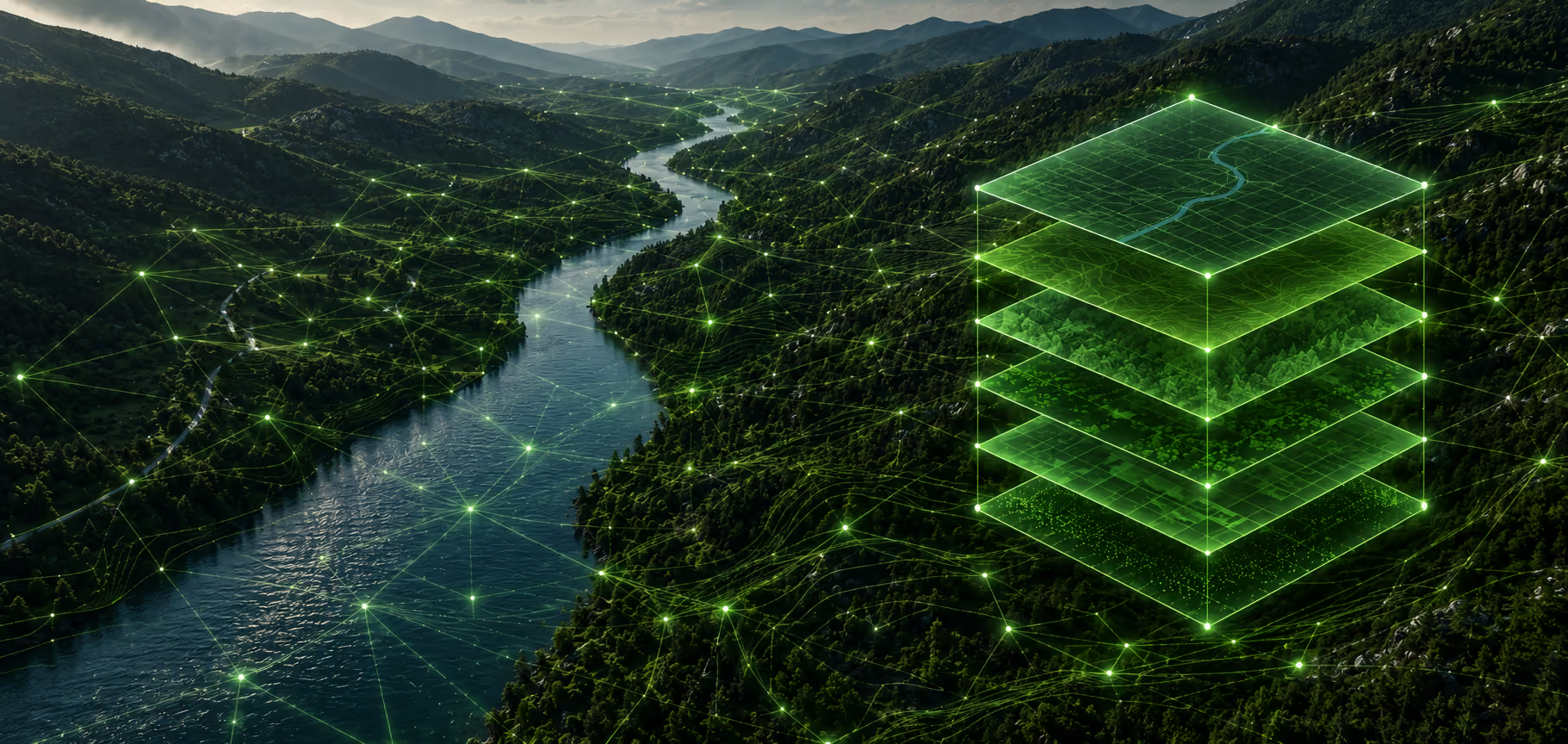
Cognitive Earth is nxzen’s operational infrastructure intelligence platform. It brings together spatial data and advanced analytical capabilities to create a more connected view of physical infrastructure and the surrounding environment.
For Virtual Communities, Cognitive Earth provides the platform capabilities that help turn LiDAR, imagery and other spatial datasets into practical applications.
This combines nxzen’s expertise in spatial data acquisition, infrastructure intelligence and AI-enabled analysis with a focus on the real-world challenges facing councils.
Start with a question your council needs to answer
Which roads may be affected by flooding? Where is vegetation changing? What has changed across your region? Which assets may need further investigation?
Start with a local challenge and explore how spatial intelligence could help your council gain a clearer picture of its environment.
Let’s explore what’s possible for your region.
Contact nxzen to discuss your council’s priorities and arrange a demonstration of Cognitive Earth and the Virtual Communities approach.