One LiDAR capture. Multiple solutions for a more resilient region.
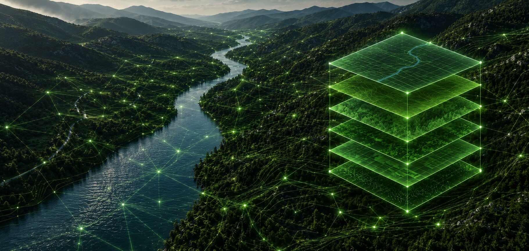
LiDAR is often thought of as a tool for mapping. But the real value isn't the map - it's what the data can help you understand, plan for and ultimately solve.
As technology makes it possible to capture increasingly detailed information across large geographic areas, there is an opportunity to think differently about how we collect and use spatial data.
One LiDAR capture can support many different decisions.
For councils, a detailed view of the landscape can provide valuable intelligence across some of the challenges becoming increasingly important to local communities.
Building resilience to climate risk
Extreme weather events are placing greater pressure on communities, infrastructure and natural environments. Understanding terrain, vegetation, drainage and the physical characteristics of a region can help councils identify vulnerabilities and make more informed resilience and adaptation decisions.
Managing bushfire and vegetation risk
Detailed spatial data can help councils better understand vegetation, terrain and the relationship between natural environments and critical infrastructure - supporting more informed approaches to bushfire mitigation, vegetation management and community safety.
Supporting environmental management
Understanding how landscapes are changing is fundamental to protecting natural assets. High-resolution spatial data can support environmental monitoring, planning and the management of sensitive areas across a council's region.
Making better infrastructure decisions
Roads, drainage, public assets and other infrastructure exist within a constantly changing physical environment. Better data can help councils understand that environment and make more informed decisions about planning, maintenance, investment and future development.
Planning for the future
The more accurately we understand our regions today, the better equipped we are to plan for tomorrow. Spatial intelligence can provide a foundation for smarter planning, helping councils understand development constraints, environmental considerations and changing community needs.
Capture once. Unlock many possibilities.
Large-scale LiDAR capture can be expensive and logistically complex. But when data is captured at a regional scale, there is an opportunity to think beyond a single project or application.
One capture can create a valuable data asset with applications across multiple council priorities.
This is the thinking behind the work nxzen is doing through large-scale spatial data capture and our Virtual Communities program: bringing together aerial LiDAR and imagery data, advanced analytics and technology to create a richer understanding of the environments and communities we serve.
The opportunity is bigger than mapping.
It is about turning data into intelligence that can support better decisions, stronger resilience and more sustainable communities.
Let’s solve your operational challenges together